
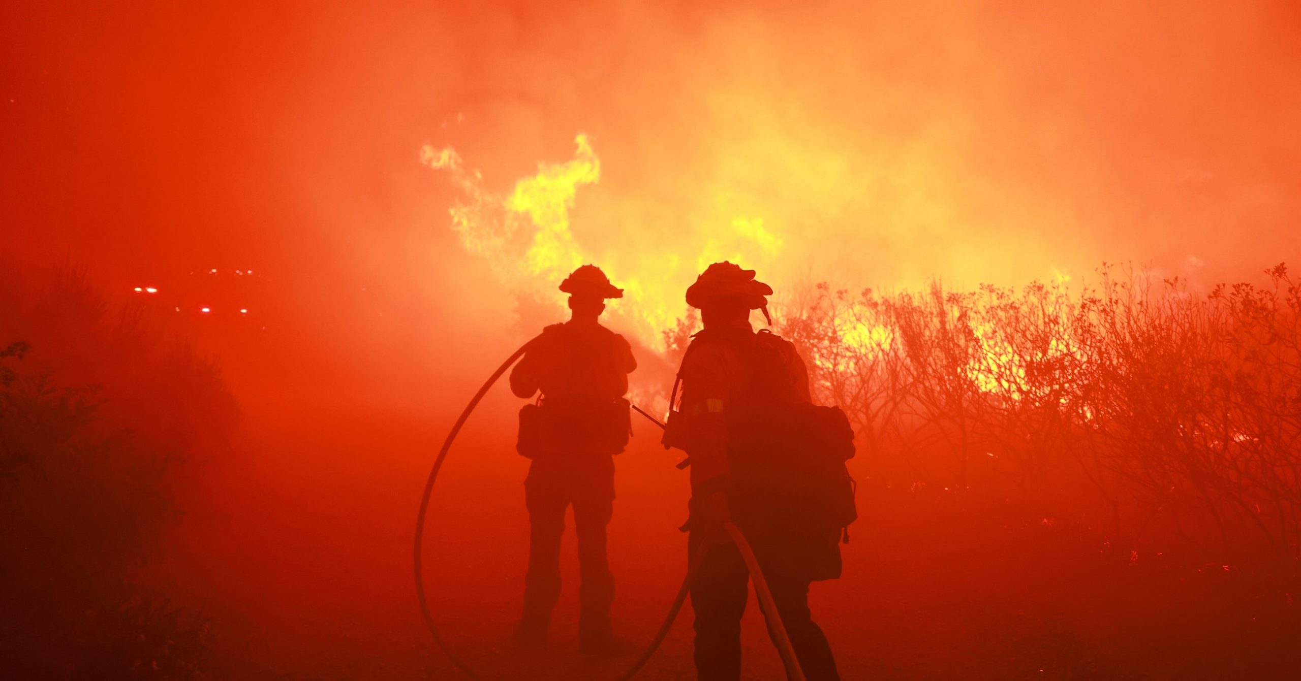
On the morning of January 7, the first of Los Angeles’ vast wildfires broke out in a forested area near Topanga State Park on the northwest edge of the city. Conditions allowed the blaze to spread very quickly: 100 mph winds, very low humidity, and a landscape primed to burn after months without rainfall together sent the fire tearing through the Pacific Palisades neighborhood, located between Santa Monica and Malibu.
About 40 kilometers away in the Eaton area in Altadena, a second fire broke out. Along with several other smaller fires, the Pacific Palisades and Eaton fires have since burned more than 30,000 acres of land in Los Angeles County,