
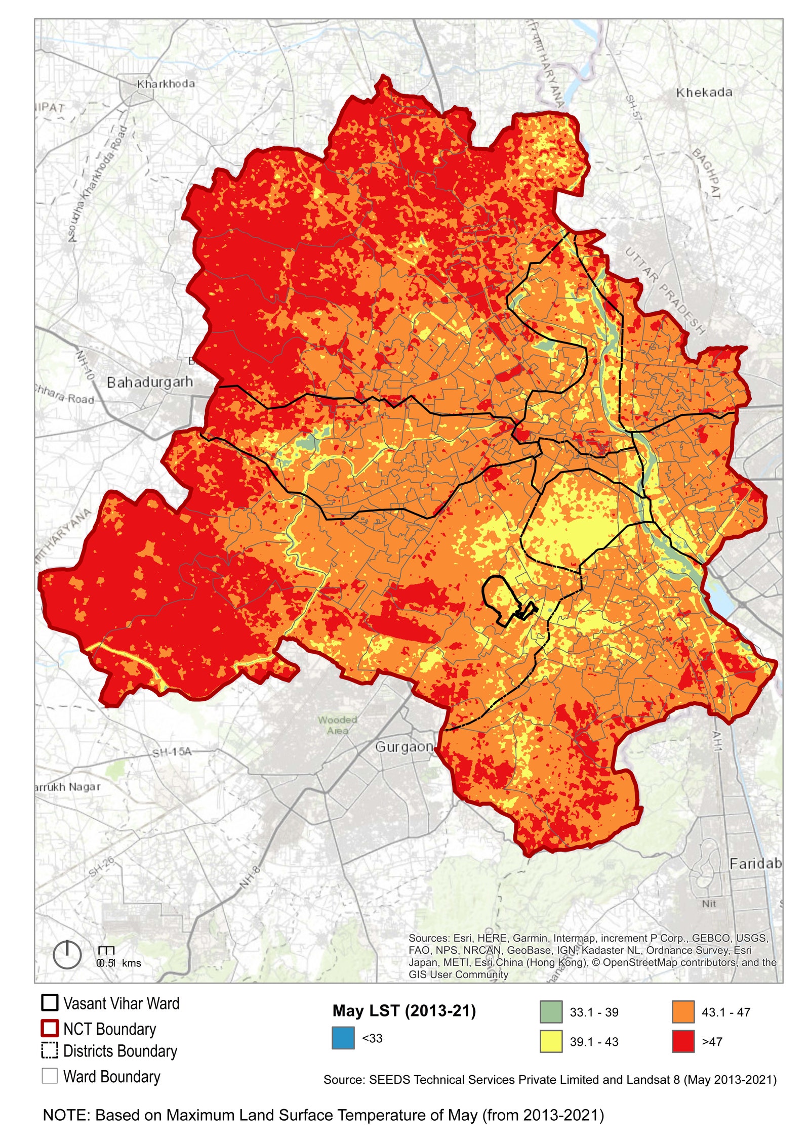
India Is Using AI and Satellites to Map Urban Heat Vulnerability Down to the Building Level

Zubaida starts her day at eight in the morning, sorting discarded plastics, glass, and chemicals with her bare hands, to collect items she can sell. With waste-segregation centers in this part of East Delhi currently shut down, she and other waste-pickers from the Seemapuri slum work outside by a dusty road through the hottest hours of the day, under the blazing sun. There is no fan or shade. With Delhi’s heat wave season here, they are constantly exposed to intense high temperatures.

On June 11, the India Meteorological Department (IMD) issued a

Related News

Prediction Markets Let You Bet on Whether a Wildfire Will Burn Down Your Town

What Are Fish Oil Supplements Good For? Here’s Your Crash Course

Workers claim unsafe conditions at a restaurant owned by the South Park creators. They have Brooke Shields on their side

Trump Accounts are now live. Here’s what you need to know

How I Went From Side Hustle to 7 Figures in 12 Months Using 4 AI Tools (No Employees, No Investors)

AI Can Do a Lot — But Most Companies Don’t Want It Talking to Their Clients. Here’s Why.